Day 112 – Ashland to Hyatt lake campground (1,717.7 – 1,742.7) Day 113 – Hyatt lake campground to Tentsite (1,742.7 – 1,773.5) Day 114 – Tentsite to Stream tentsite (1,773.5 – 1,800.7) Day 115 – Stream tentsite to Crater Lake National Park (1,800.7 – 1820.9) Day 116 – Crater Lake National Park to Diamond Lake Lodge (1820.9 – 1,847.8)
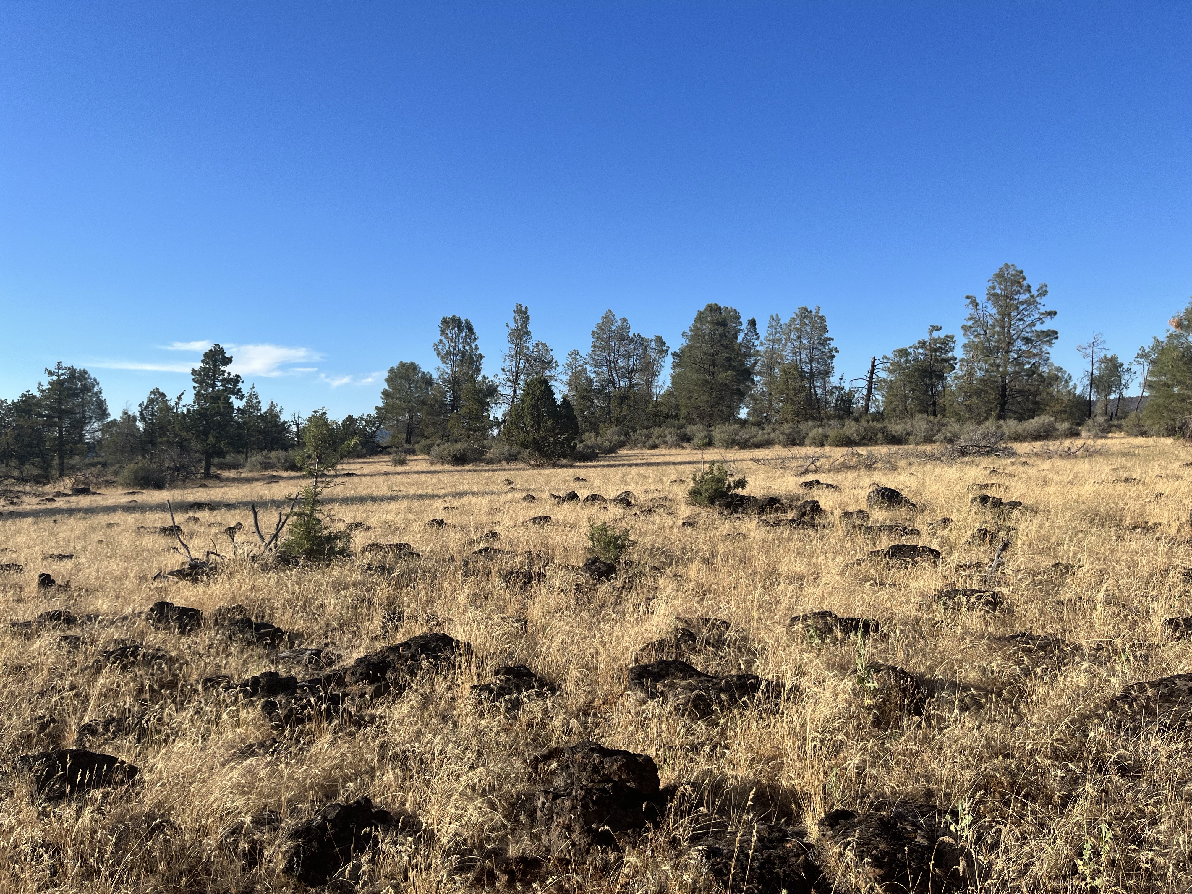
I felt great to be in Oregon. Oregon on the PCT is known for flat terrain, mosquitos, and green forests.
Fozzie and I had 130 miles to our next stop at Diamond Lake Lodge. A little resort in Oregon (motel and market by a lake). The kind of place that doesn’t even have Wi-Fi!
The highlight of the stretch was crater lake. I spent a morning walking around crater lake and taking in the views. I even brought an avocado to enjoy during a long break overlooking the lake.
The trail goes up to crater lake, then slowly wraps around. It was a really neat stretch of trail. Filled with signs to read about the history and geology of the lake. It’s a place I’d love to come back and visit!
After Crater Lake we were only one day away from Diamond Lake Lodge. The rumors about Oregon were partly true so far. Very flat with lots of green forests and lakes. But no mosquitos yet! But I never say that out loud, because I don’t want to jinx it 🙂
Day 108 – Girder Creek Campground to Tentsite (1,649.5 – 1,679.3) Day 109 – Tentsite to Shelter (1,679.3 – 1,708.2) Day 110 – Shelter to Ashland (1,708.2 – 1,717.7) Day 111 – Ashland Zero
I quietly packed my bag and was hiking under the stars by 5 AM. My headlamp illuminated the trail rocks and sticks. The air was crisp. I was excited for breakfast to keep moving forward.
I walked into Siad Valley 10 minutes before the restaurant opened and found a bench to relax. I met two other hikers, Fozzie and Jacob. We had coffee and eggs to fuel the climb.
We all had the same idea. Get out of town ASAP to beat the heat and get this climb over with. Fozzie and I left the restaurant and headed out. The first few thousand feet went by without a problem. Except I missed a water source I planned to fill up at. That meant I had to ration water. And it was getting hot.
I had another mile of steep climbing to a probable water source. I prayed to any god that would listen for it to be dripping. The heat was raging. And there was no shade in sight. I was walking through chest high prickly bushes. The ground was cracked and drought was evident.
Half a mile away I considered laying down under the bushes for a break. But I didn’t have enough water. I knew I’d only get more thirsty. The coffee definitely wasn’t helping either. Not the most hydrating beverage.
I stumbled along a short side trail and saw where the stream had dried up. In a panic I kept looking and finally found a literal dribble of water. I used a small leaf to funnel the drip and in 2 minutes I had half a liter of water. Oh my God. The relief overwhelmed me. I wasn’t sure if I could finish the climb without water.
Jacob and Fozzy walked up as I was filling my second half liter and I let them take over. Everyone was breathing hard and drenched in sweat. We’d heard how though this climb was, but weren’t ready for it!
I was thankful for water, but there wasn’t any shade to be found. I took a 10 minute break and could feel my skin roasting. So I double checked my 2 liters were full and headed out in search of shade!
Fozzy and I hiked off and on through the day and found a shady old dirt road for lunch. I laid down in the grass thankful to be done with the climb.
The afternoon and the next two days followed a similar theme. Casual walking and enjoying the trail.
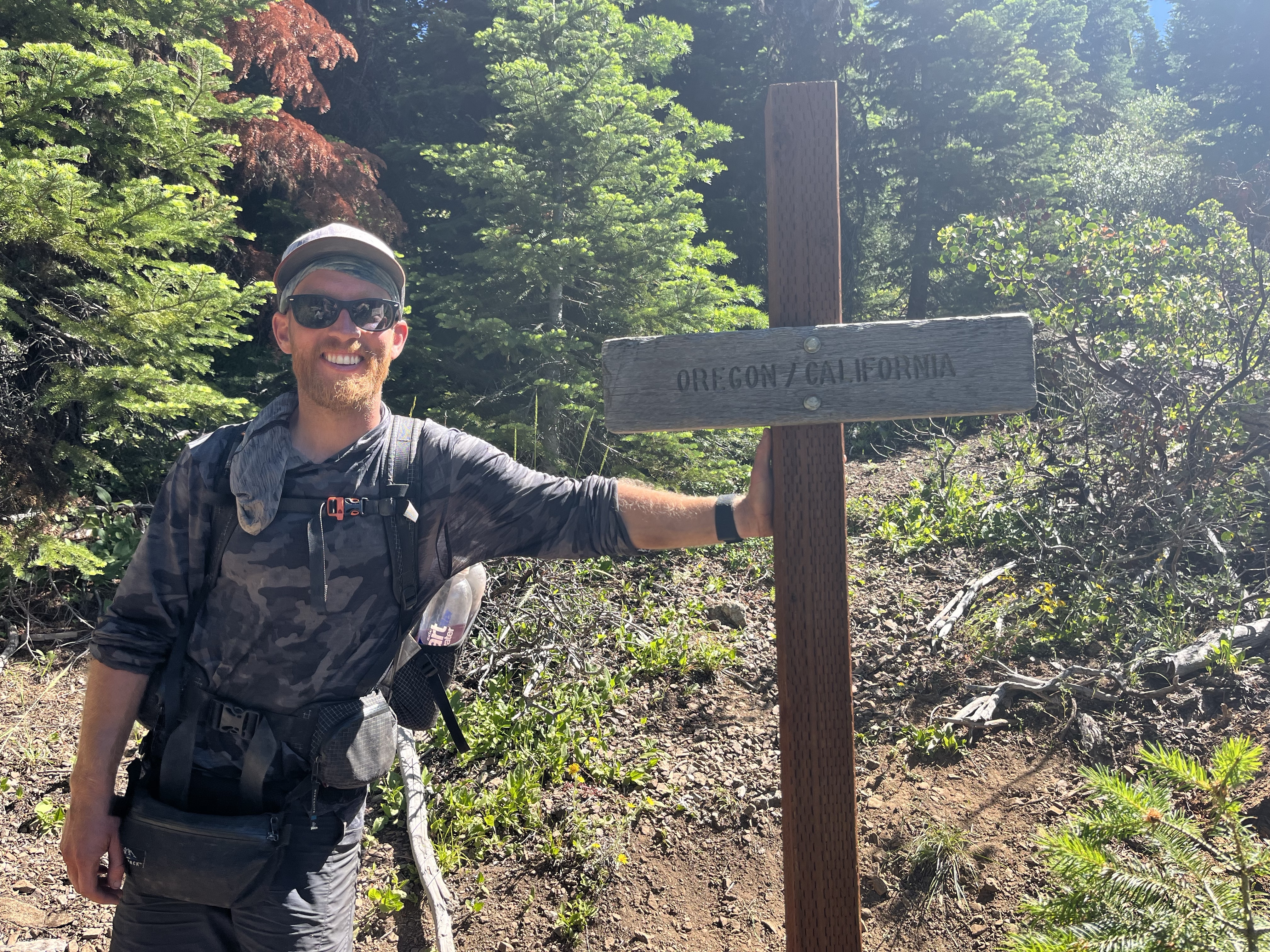
The next day we crossed into Oregon! After spending 3+ months in California the milestone felt huge. Even bigger than the halfway mile marker. I was excited to check out Asheville and spend a day relaxing. Fozzie had a trail angel lined up so I tagged along.
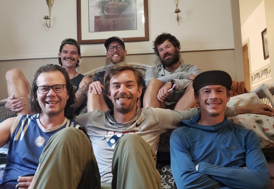
The trail angel was Bill. He is a retired magician. He welcomed us into his home and entertained us for a day and a half.
Day 102 – Dirt road to Ash camp (1,430.4 – 1,470.9) Day 103 – Ash camp to Burstarse Creek (1,470.9 – 1,510) Day 104 – Burstarse Creek to Spring (1,510 – 1,549.7) Day 105 – Spring to Tentsite (1,549.7 – 1,586.1) Day 106 – Tentsite to Tentsite (1,596.1 – 1,617) Day 107 – Tentsite to Girder Creek Campground (1,617 – 1,649.5)
The new shoes breathed life into me. All the odd knee and foot pains were gone. I loved spending the last few weeks with a tramily. But it felt nice to be solo and ready to rip.
After spending 3 weeks casually hiking or at the festival I was itching to do big miles. Ever since my 50 mile day during the Techapachi Challenge with Jackrabbit I have been curious about consistent big miles. What would that feel like? Would I enjoy it?
This is the perfect time to find out! If your not willing to take a risk and find out, you’ll never know what you missed out on.
The next 7 days I averaged 36.5 miles. They were my hardest on trail. With multiple 40+ mile days. Northern California isn’t the best place to do big miles because the terrain is hilly, averaging about 10k elevation change per day. But I was ready to push my limits.
This week was the most consistent “flow state” I’ve ever had. The feeling of focus and clarity of thought. The discomfort and pain were present but not overbearing. I learned as much about backpacking in this week than I have the past 3 months.
How to move quickly and efficiently but still take breaks. How your day can be designed by you. Designed to put you in the highest state of mind.
Every action on a big day is a trade off. If you decide to cook dinner (boil water) then you’ll spend an hour. You could have hiked 3 miles in that time if you ate a cold dinner. I learned to prep snacks while taking a 10 minute break. This stretch was a constant multi-task in search of the most efficient day.
I learned pushing consistently BIG miles isn’t for me. The 40+ mile days took a toll on my body and I have a newfound respect for people who set the fastest known time of a trail. They often average 50+ miles per day. Holy smokes!
But I wouldn’t trade the learnings and new perspective I gained over the last week.
My goal for the last month of trail is to put myself in the highest state of mind. To properly fuel, rest, and push miles. To find the flow of body and mind.
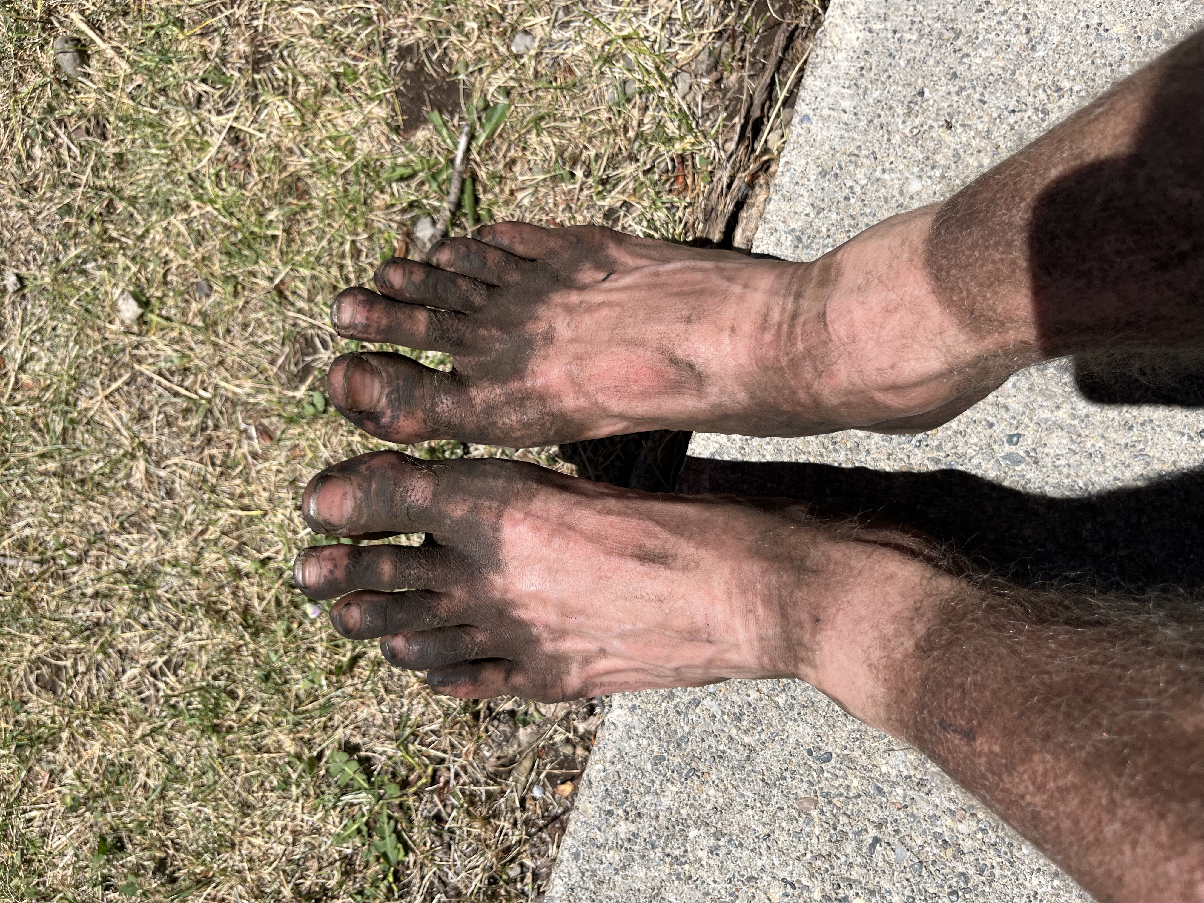
This stretch has been dirtiest or my body. Longest without a shower I think. But I don’t mind it at all. I like it, I feel connected to the earth. And the animals.
In the morning I’m walking into Sied Valley (they have a diner and a massive exposed climb)!! My goal is to start hiking at 5. So I can get to breakfast at 7. Then I can resupply, zip out and climb out of Sied Valley before it get too hot!
I woke up relaxed. Cleaned up the disaster of food and wrappers covering the cabin floor. Then I walked out of Burney around 10. Not bad for a town day!
We hiked a few miles to Burney Falls. The trail was shaded with trees. Such a nice change from the exposed hot hiking two days ago. The shade and breeze do wonders to keep you cool.
I walked into the Burney Falls general store excited for my new shoes! My name wasn’t on the package list. So the worker checked the back but nothing. Shoot. I really can’t hike any further in these shoes. They are done. I grabbed ice cream and a Gatorade and found a picnic table to lay on. I waited and waited. 5 hours later I was losing hope. I was about to scope out camp spots when the GLS delivery van rolled up.
I jumped off the picnic table and caught the guy before he went inside. Picking up from inside costs $10. So I figured why not! I was stoked!
After the low mile days and laying around waiting for shoes all day I was itching to hike. But I didn’t want to skip the falls. I took a 10 minute detour to Burney Falls. The falls were massive and it was worth the stop.
Then I threw in headphones and walked until dark. I finished a few miles behind Blue, Gushers and a High Life. Tomorrow will be a big day. I’m going to start putting on long days and big miles. Hopefully I can get out of bed 🙂
Start: Creek and water pipe 1,406.9 End: Burney – Mile 1,411.3 Elevation Max: 3,437 Elevation Min: 3,096 Elevation Change: 806 Walking Time: 1 hrs 24 minutes Date: 7/11/2022
The Walk
In the middle of the night I woke up to someone getting water at the stream. What the hell. It was 3 am! I tried to go to sleep but heard their stove pop on. During the next hour they boiled water 3 times. My god. I nodded off and on, and didn’t get back asleep until they took off at 4:30.
I woke up with sunrise and packed up. The miles went by quickly. I passed a fish hatchery and saw a pelican swooping out of the water. I couldn’t believe how big the beak was!
I cruised into Burney around 10am and a lady in a van was sitting 100 feet away. It’s worth a shot to get a quick ride to town. As I got closer I realized it was Need to Feed. The lady who gave us trail magic yesterday! Amazing.
She took me to the local church that hosts hikers and showed me around. They had a hiker box, showers, and free coffee. It was an oasis for hikers. At least 15 hikers were there.
I did town chores then met up with the crew for breakfast. The rest of the day involved eating lots of food and watching movies at a cabin. A fun birthday for Gushers.
Start: Old Station 1,373.4 End: Creek and water pipe 1,406.9 Elevation Max: 5,144 Elevation Min: 3,204 Elevation Change: 2,286 up & 3,431 down Walking Time: 8 hrs 48 minutes Date: 7/10/2022
The Walk
The diner didn’t open until 8am, which was a great excuse to sleep in. But I wanted to get my order in early! At 7:30 I packed up and slowly made my way to the diner. The fresh brekfast would help on this long, hot, and exposed day. We were walking on the Hat Creek Rim Trail. A section of trail known for long stretches of no water, no shade, and lava rocks that absorb and radiate heat.
I ordered biscuits and gravy plus with a side of bacon and eggs. Trying to cram in the calories! Breakfast was good but the coffee was my favorite part. You can’t beat hot coffee in the morning while on trail.
At 9:30 I walked to trail. I decided to skip the lava cave. It would have been unique to see, but I was ready to get going. I didn’t want to take an hour detour. It was already late and I planned to walk 34 miles today.
The day started with a small climb and a lady at the top was doing trail magic! She had freshly baked muffins and fresh fruit. I was absolutely stuffed, but enjoyed a slice of watermelon.
I filled up my water and headed out. Today’s hike didn’t have any shade and it was supposed to be 91. Tomorrow is supposed to be 100, so I feel lucky with the low 90s.
There are only 2 water sources in the next 30 miles. A water cache 13 miles away then a creek 13 miles after. The heat of the day hadn’t hit yet and I felt fresh. I knew the big breakfast would carry me into the afternoon.
I put in headphones and went into the zone. I was cruising right along. The terrain was extremely flat. It was one of my fastest morning hikes. And before I realized it I was a mile past the water cache 🙁
Yes. A mile past! I was really into a phone conversation and totally missed the stop. Bummer. I considered skipping and getting water 12 miles further. But I had less than a liter of water left. And the heat of the day was here. That would be stupid.
I could feel the 90s. I wasn’t used to it. I set my pack down against some trees, grabbed my water bottles, and jogged back to the water cache. Surprisingly I enjoyed the jog. It was fun running down hills and dodging rocks. I was afraid I’d roll an ankle or slip and fall, but I wanted to go quick. Going backwards sucks.
I filled up at the water cache then jogged back to my pack. It felt so light to be running without a pack! I relaxed for an hour and ate some food. I’d much rather have relaxed at the water cache in a lawn chair, but I didn’t want to leave my pack for long. The pack has everything I own! I’d be lost without that.
I started walking again. It was even hotter now. And I was worried about my water situation. I had 1.5 liters to walk 12 miles. Normally I pack 1 liter for every 6 miles. So I was already half a liter short.
And the heat kept building. The trail was lined with small bushes and didn’t give me any shade. I drank sparingly. But it wasn’t enough. With 8 miles to go I could easily gulp down the rest of my water. It was time to ration.
I decided take a swing every .75 miles. And that was my life for the next 2.5 long hours. Looking at my watch. Waiting for the next time I could drink. As time wore on I got hungrier too. But I didn’t want to eat, because that would make me more thirsty.
By the last 2 miles I was dragging. In that moment you have no option but to find the closest water. So I kept going. Eventually I heard a running stream. Thank god. I made it. This is the first time I’ve used every sip of water. (I did have a can of bubbly water, but I wanted to save it for dinner).
I drank a bunch, set up a tent to block the mosquitos and ate dinner. Today was a long, hot day of hiking and I’m glad to be done. Tomorrow I only have 4 miles into Burney. Gushers Bday celebrations are here. Thank god because it’s supposed to be 100!
Start: Dispersed camp site before boundary spring.1,344.5 End: Old Station 1,373.4 Elevation Max: 6,621 Elevation Min: 4,379 Elevation Change: 2,987 up & 4,466 down Walking Time: 9 hrs 14 minutes Date: 7/9/2022
The Walk
I woke up ready to see Lassen Volcanic National Park. Yesterday a local who gave me a hitch warned me of the burn area. And said it had been beautiful before the burn. I’m thankful I see the trail with no experience. My walk can’t be interrupted by comparison to a past state that I don’t know.
Lava rock was the theme for the day. I was excited to see a geyser and a cave formed of lava flows. We started off the day pretty early and walked through the burn area.
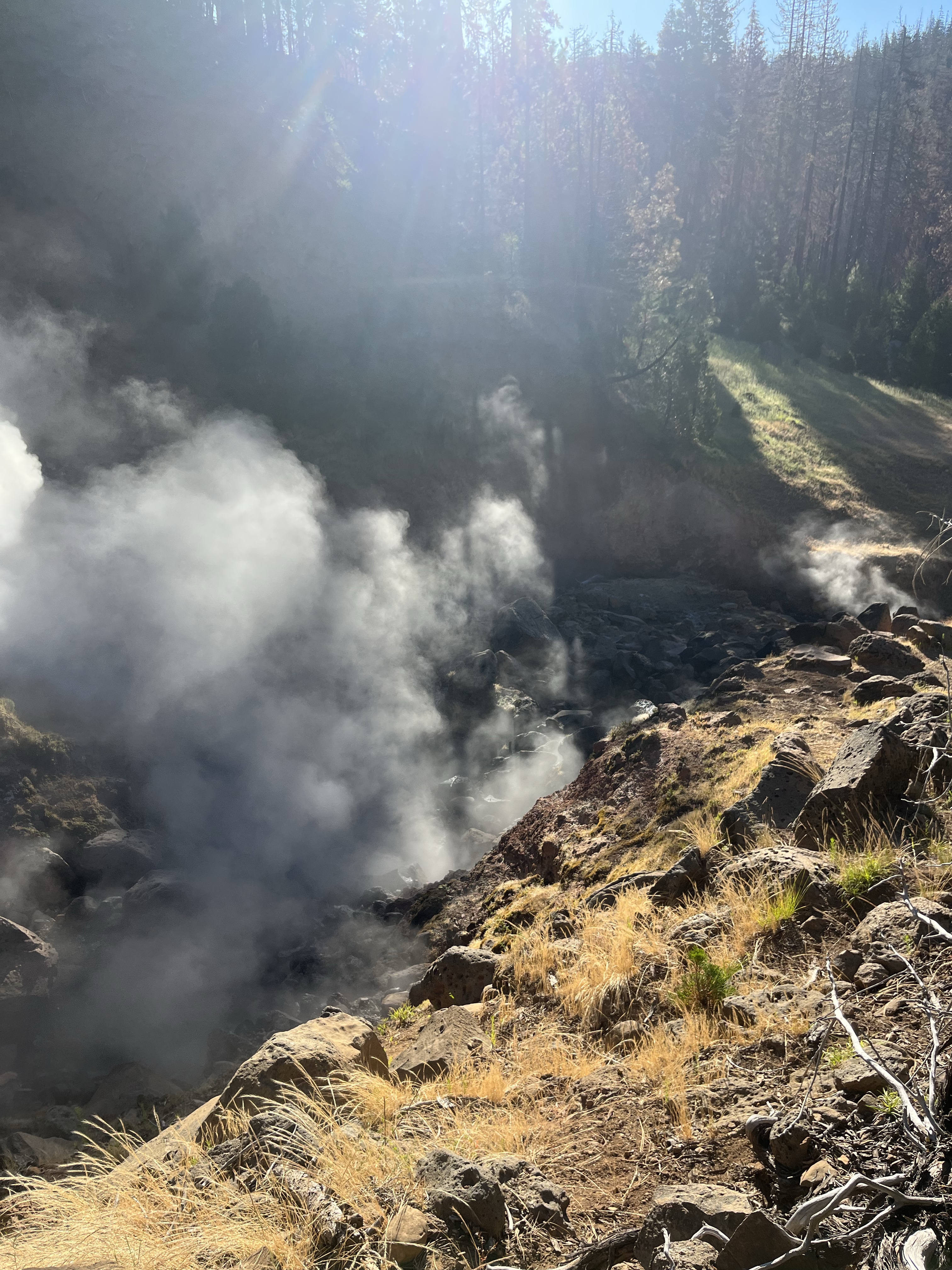
I found the side trail to the Geyser 4 miles in. The Geyser was different than anything I’ve seen in 1,300 miles. Steam rose through the trees as I got closer.
The trail went to the edge of a hill and then down a steep 30 feet. I slid down. For half a second I wondered how close I was supposed to go. But how many times will I be this close to an active geyser? The smell of sulfur filled my nose as I slid down. Yuck.
I walked right next to the steaming geyser. The standing water was bubbling and steam coming out of hundreds of cracks in the rock. It was so cool. After a few minutes I headed back to the trail and kept walking.
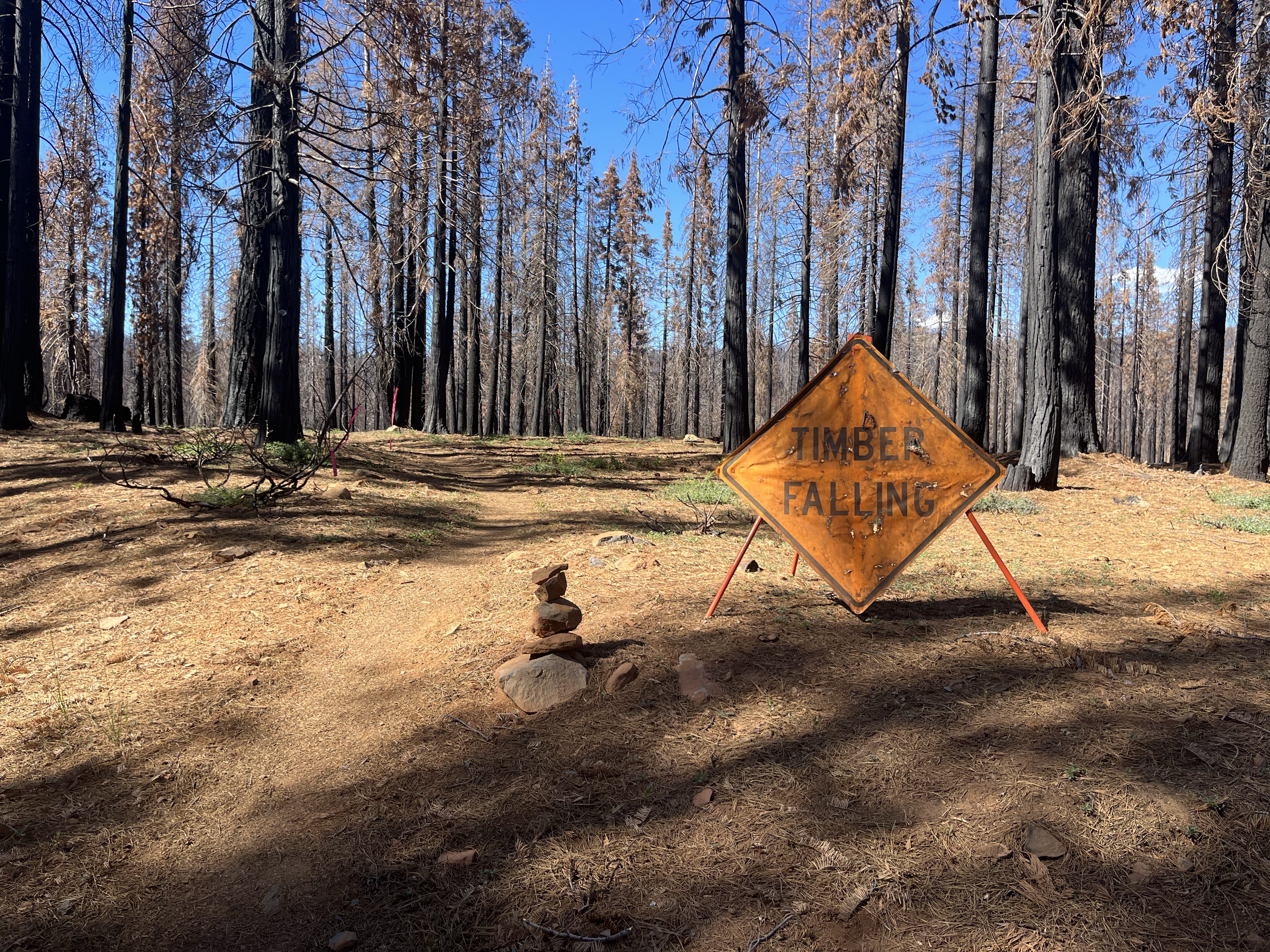
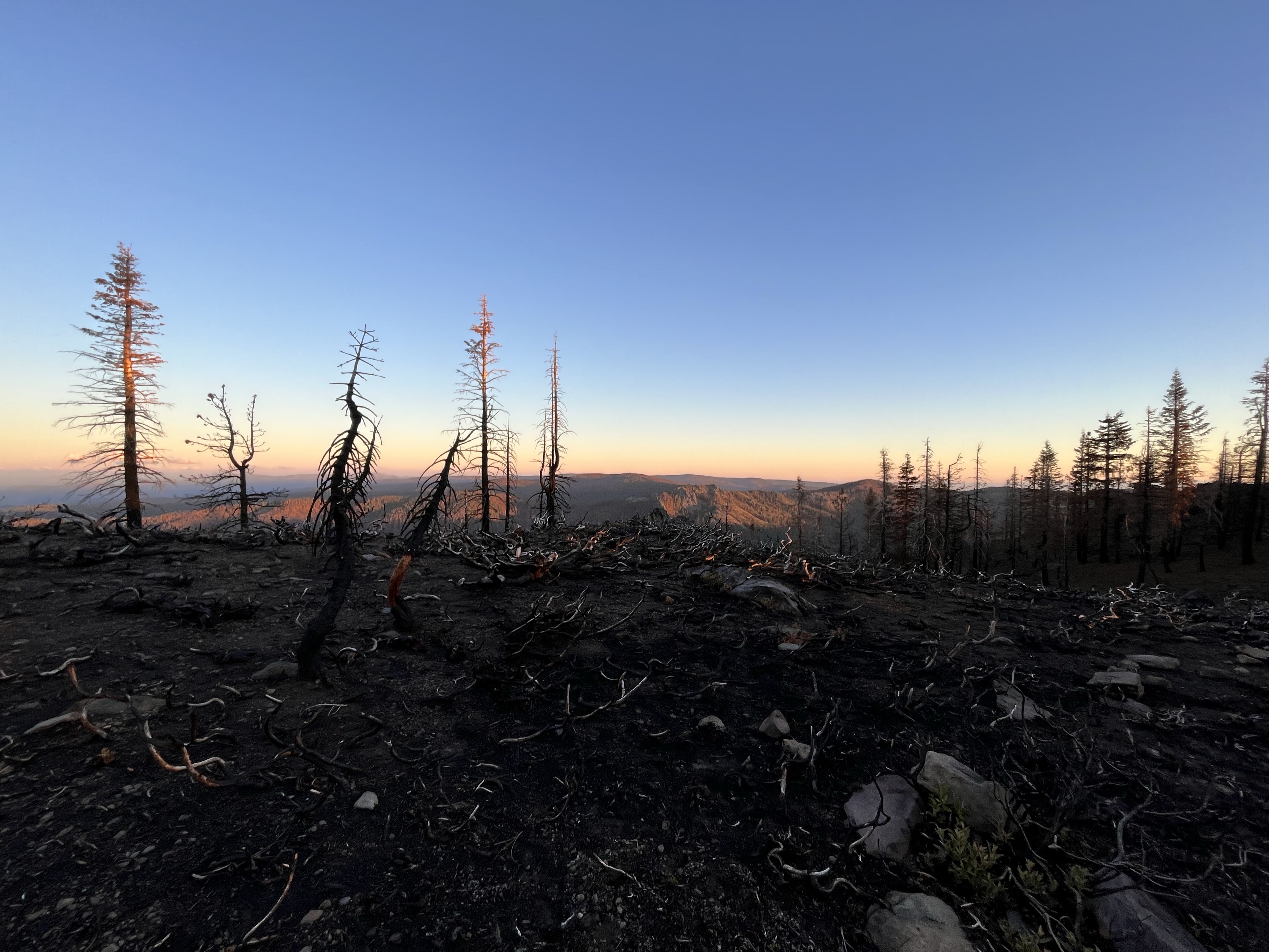
The Lassen forest was burnt. Most of the trees were black or had fallen. I was thankful it wasn’t a windy day and none of the trees were wavering or creaking as I walked by.
I passed a few patches of grass with beautiful wildflowers. They were thriving with no trees to block their sunlight.
In the afternoon the burnt forest changed to a green shaded forest until old station. I’ve learned not to expect much from gas stations. But this one was top notch. They had all the hiker needs for a resupply and even had frozen foods and a microwave.
I was tired. And thankful we decided to camp in a park beside the gas station. Tomorrow I get fresh breakfast at the diner before a hot day of hiking!
Start: Chester – Mile 1,331.3 End: Dispersed camp site before boundary spring.1,344.5 Elevation Max: 6,135 Elevation Min: 5,132 Elevation Change: 2,440 up & 1,574 down Walking Time: 3 hrs 53 minutes Date: 7/8/2022
The Walk
I woke up in a secluded area of the park and grabbed a slice of cold pizza. Pizza in a sleeping bag. What a way to start the day. Before I went to bed I got worries and animal would chew through my tent, so I stuffed half a pizza in a gallon ziplock bag. I ate one more slice while packing up and walking to Cravings for breakfast. The coffee and a burrito were tasty.
We only planned 15 miles today. That’s only 5ish hours of walking, so I wasn’t in a hurry. I walked back to the park and then spent a few hours journaling in a bakery. The bakery smells were amazing. The owners didn’t mind me there and kept brining out fresh food I had to try. I had a few cookies and packed out a chicken and pesto pastry for dinner.
At noon I walked to the road and got a hitch in 2 minutes. That was one of the fastest hitches I’ve ever had. Good vibes today!
The walk felt great. The forest shifted between green trees and burnt trees. Mostly burt trees. I noticed a few odd pains in my feet / knee. It’s probably because my shoes are totally done. I tried to get a new pair in Quincy but had trouble with delivery. Hopefully they don’t cause long term foot / knee damage in the next 75 miles.
6 miles in later I caught up with High Life. I hadn’t seen him in a few hundred miles. We chatted and hiked for a few miles. Then at mile 13 I saw the crew setup for the day. They must have had a really chill day.
I got there then High Life came in a bit later. We all set up a spot to cowboy camp. I hear a lot of mosquitos buzzing around. Hopefully I don’t wake up with 20 bites!
I woke up with breakfast on my mind. We only had 10 miles until Chester. Short days into town always give a burst of energy.
I started walking at 6:30. The entire walk was through burnt forest. I listened to an audio book and it flew by. My least favorite part of the burn areas is the ominous silence. It’s a stark contrast to the forests full of life and animals.
We got to the trailhead by 9:30 and got a hitch within 15 minutes. In Chester we went straight to a cafe. The town was pretty small and we wandered to the local park. We relaxed in the park all day and stopped by a farmers market in the afternoon.
A lady gave us free ice cream and some baked goods. I’ll count that as trail magic! Continuing the theme of eating, we stopped by a pizza place to load up on calories. Then headed back to the park to camp for the night. I sure would have felt weird camping in a public park before this trip. I’ve learned to go with the flow and trust the trail.
Tomorrow will be a short day to the border of Lassen park. Lassen is a 19 mile stretch that requires a bear can. Since we can’t camp in there (no bear can) my options are 15 miles or 34 miles. And I don’t feel like hiking 34 miles!
Start: Williams Cabin Site – Mile 1,292.7 End: Butt Mountain Trail – Mile 1,321.6 Elevation Max: 7,970 Elevation Min: 4,249 Elevation Change: 6,656 up & 3,070 down Walking Time: 8 hrs 44 minutes Date: 7/6/2022
The Walk
I woke up to people milling around camp. 5 trail workers shared the campsite. They were packing gear up and heading out for the day. They they spend 8 days on trail doing conservatory work then have 6 days off. I thanked them for their work and started walking north.
Last night we knocked out 5 miles and 2,000 feet of the climb out of Belden, which I was thankful for. Only 3,000 feet to go. I started climbing and felt good.
At the festival Boom and Sure Does warned me of a hawk a mile up the trail. It built a nest next to the trail and dive bombs unlucky hikers. No headphones this morning. I was prepared to hold my trekking poles above my head and run as soon as I heard a screech.
I looked around and listened as I walked through the section. I never heard the hawk. A few miles later I caught up with Gushers and Blue. They didn’t get attacked either.
I spent the rest of the day walking through a mix of burns and wildflowers. A lot of people skipped the burnt section of trail. But I wanted to experience it. Obviously it wasn’t as nice as hiking in a forest, and the cracking of dead trees was ominous. But it was still enjoyable. I’ve learned to take the good with the bad.
We got into camp around 9 and I ate a quick dinner and found a flat spot to cowboy camp. It was getting dark and the mosquitos weren’t out.
Tomorrow will be a short day into Chester. We’re going to take it easy for the next week so we will walk into Burney for Gushers birthday on the 11th. After that it’ll be 30+ mile days!