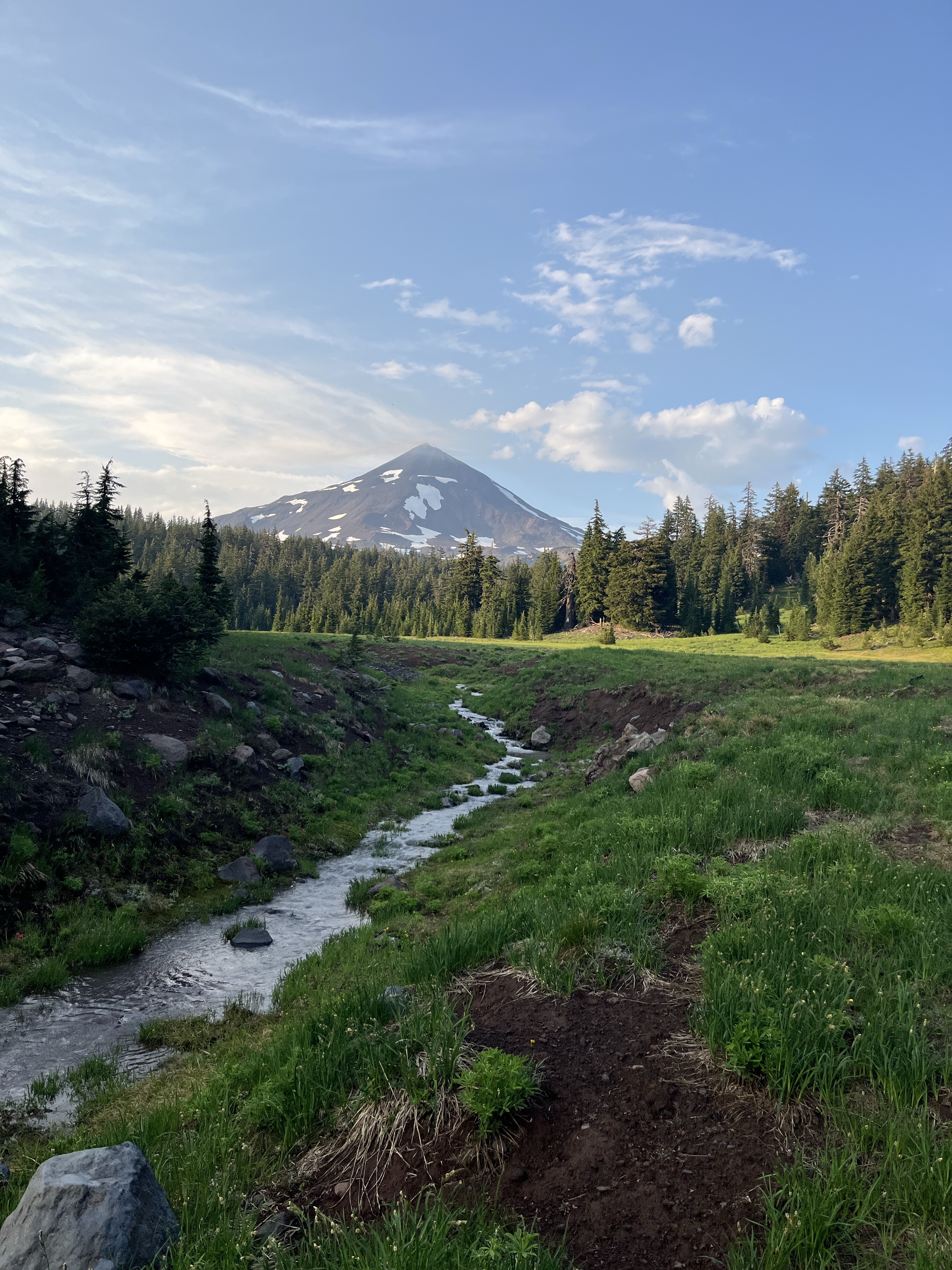
Day 154 – Bridge Creek Campground to Stream and Tentsite (2,577.8 – 2,601.9) Day 155 – Stream and Tentsite to Harts Pass (2,601.9 – 2,623)
I woke up 73 miles from Canada and 43 miles from the end of my trip. My mind wasn’t in it, but my body knew the routine. The sun was creeping up so it was time to get moving.
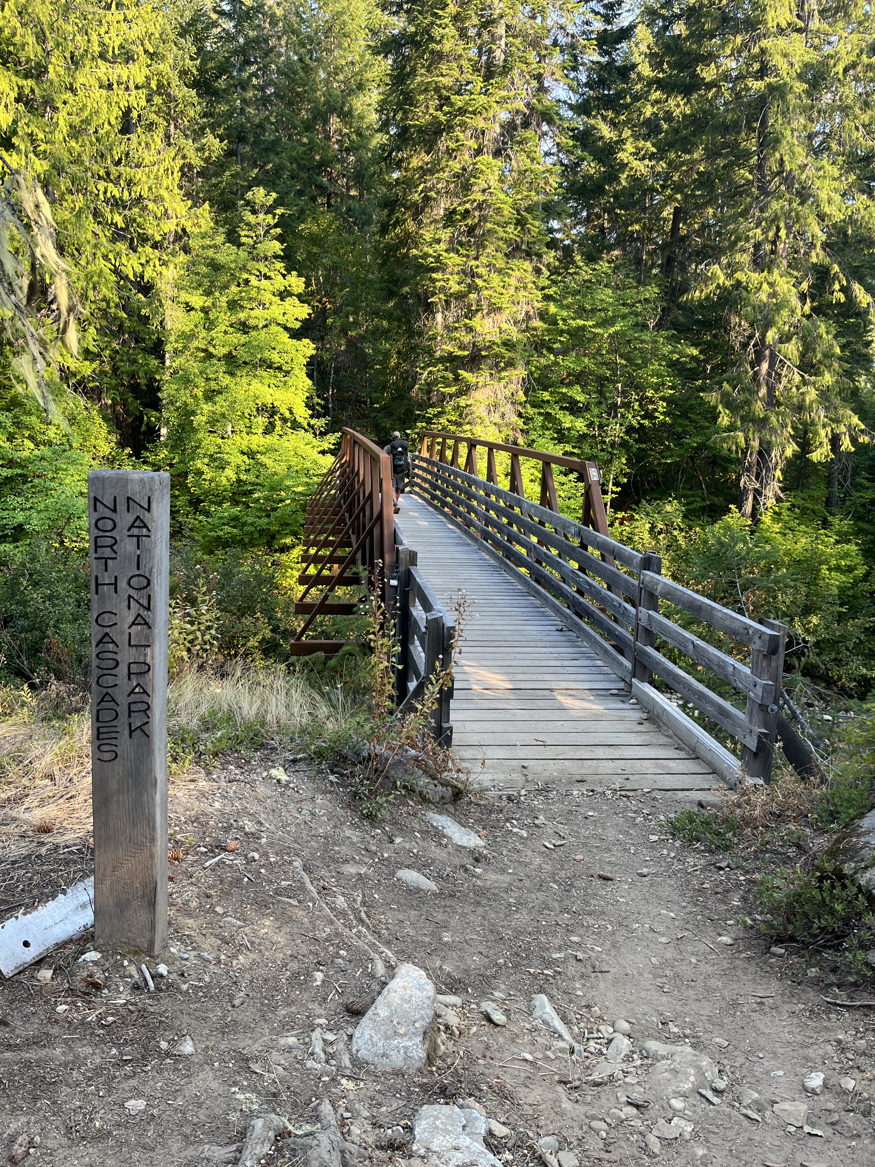
It’s hard to stay sad when you’re hiking through beautiful forests and fun suspension bridges. The next two days were very somber. Everyone was processing not only the trail closure, but that the entire hike was wrapping up!
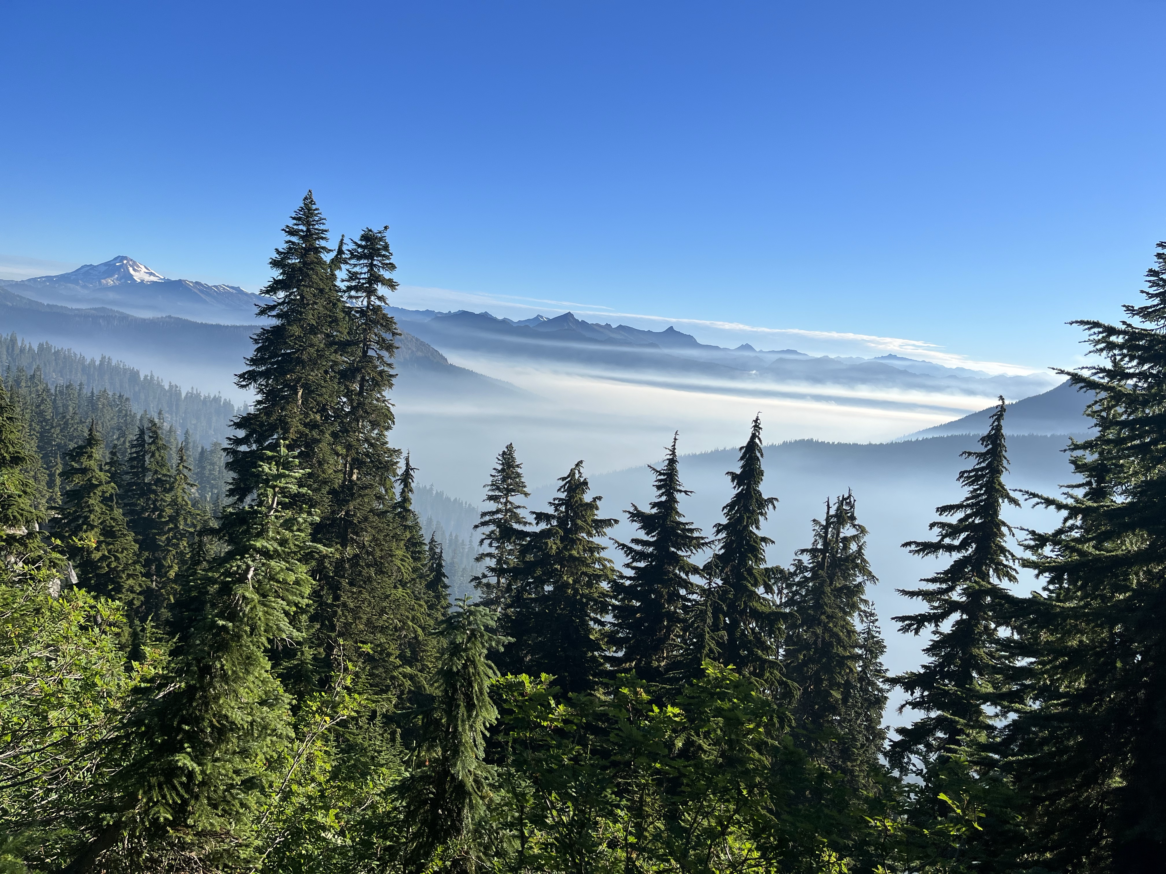
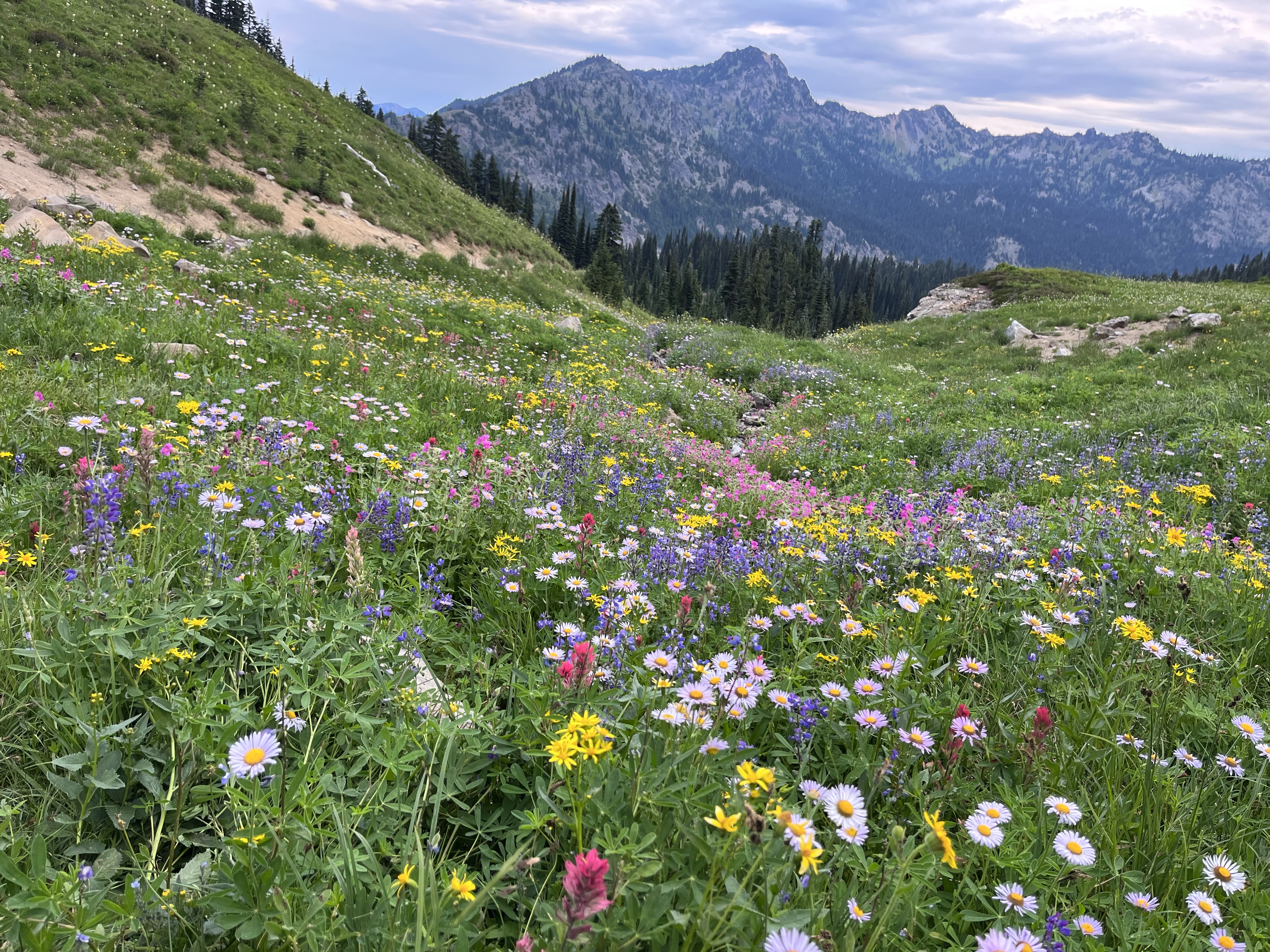
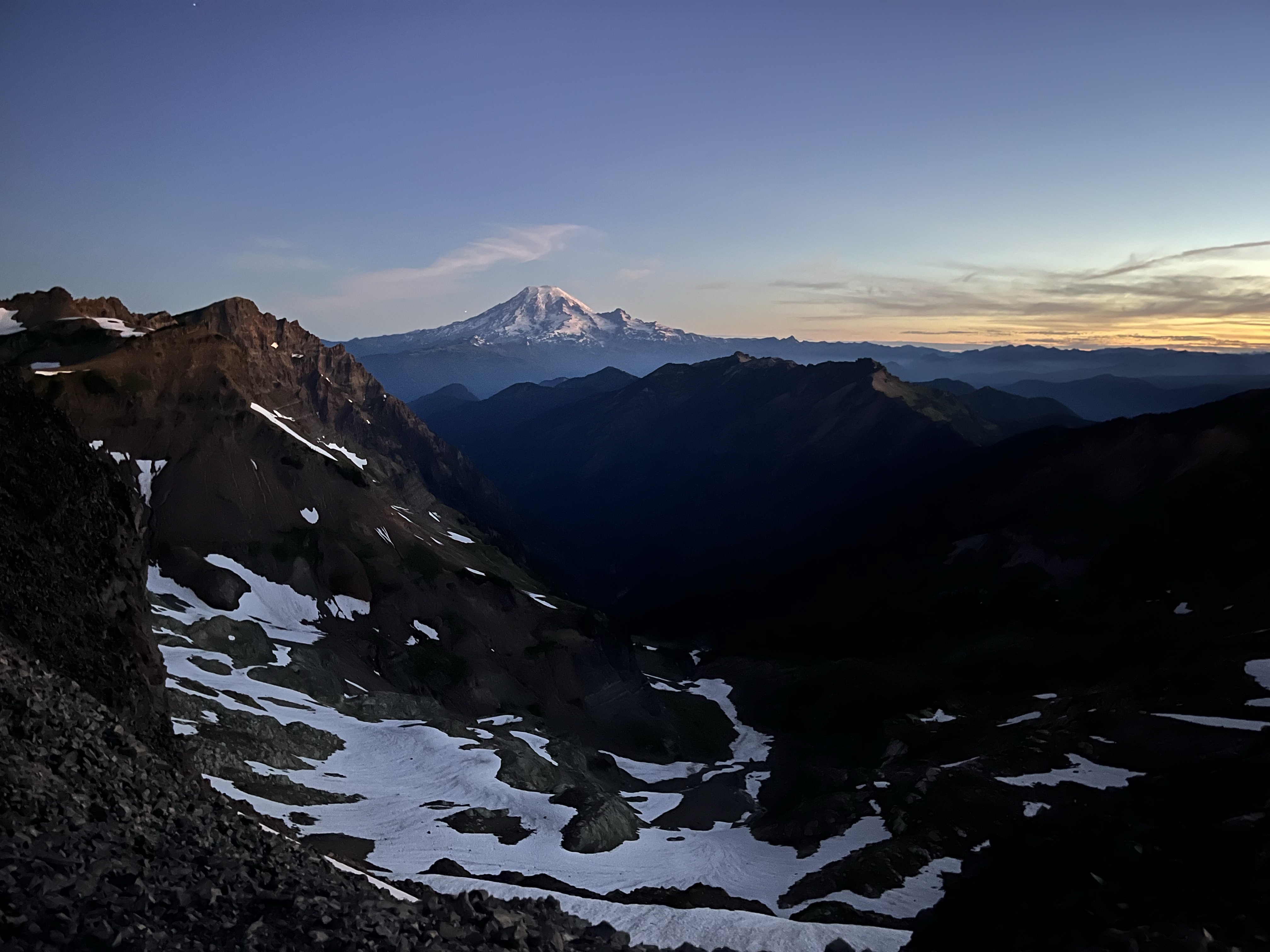
Northern Washington was stunning. The last morning on trail was special. It started with a dawn climb through the clouds and after a few miles we were looking down at a cloud shelf covering a valley. The mountaintops were exposed and colored by the rising sun. It was a reminder to appreciate the portions of trail I got to experience this year.
The trail changed me. It opened my eyes to a new way of living. A community of people who support one another and form deep connections. There is nothing and nowhere to hide on trail.
On the last climb of the hike a group of 6 southbound hikers passed by. They asked what we were hiking and I told them the PCT. They had heard about the trail closures and said sorry. But they were so stoked for us. The said. You finished the trail!
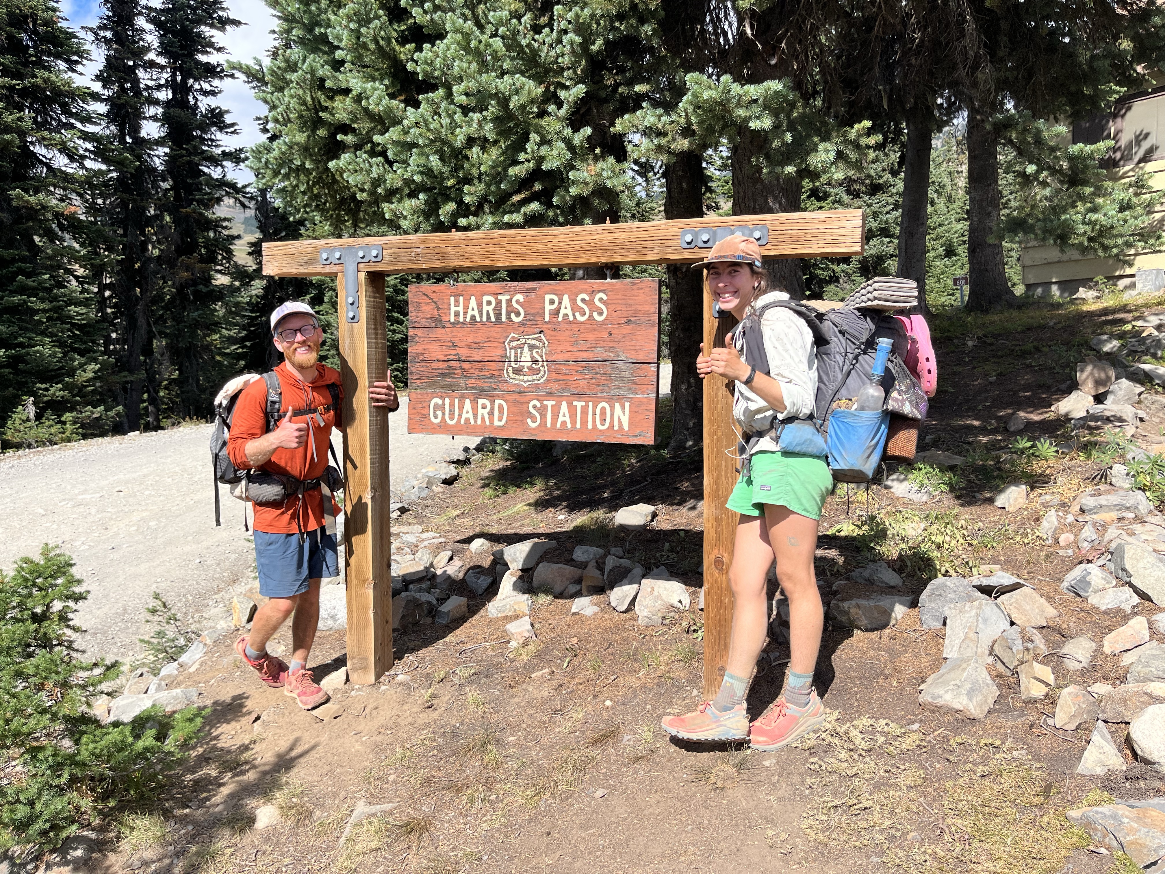
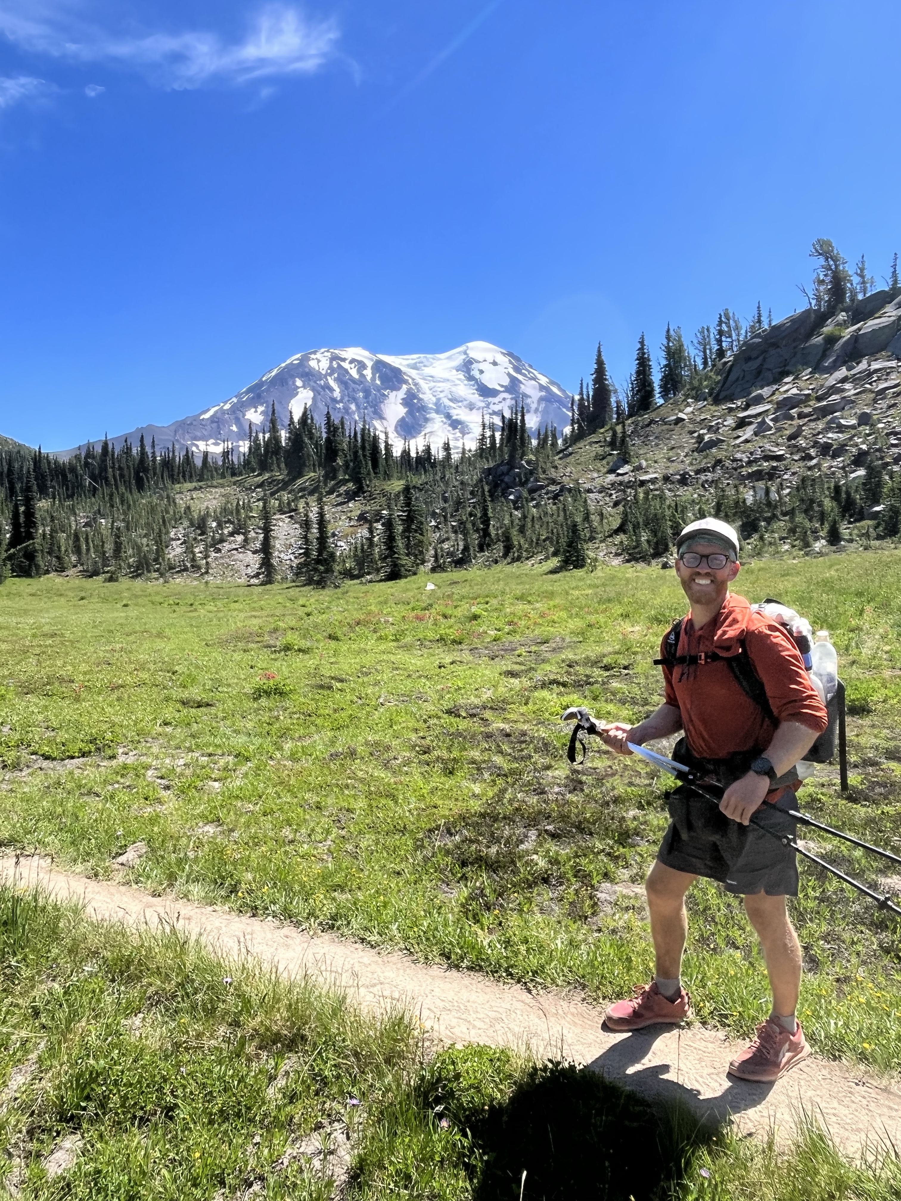
Their enthusiasm and validation felt amazing. It was just what I needed. I finished the last few miles taking in the scenery and letting my mind wander free. We arrived at Hart’s Pass and that was a wrap. I hitched two rides to Seattle and the trail was officially done. This is the last hitch of trail. What a fitting way to end it….for now.
Start: Tripper Creek – Mile 2,567.9 End: Bridge Creek Campground – Mile 2,577.8 Elevation Max: 2,285 Elevation Min: 1,535 Elevation Change: 3,673 up & down Walking Time: 3 hrs 5 minutes Date: 9/2/2022
The Walk
I woke up early and excited for my last town day! Can’t believe it’s here. Less than 100 miles to Canada!
I got off to a quick start and got a bus ride into town. There were 30 hikers on the bus, all headed to the same place. The most famous bakery on trail!
Stehekin is a small town that’s hard to access. You can’t get here via car. You have to ferry on a boat or walk! It was such a neat place to visit and regroup for the last section of trail.
I ate my fill at the bakery, picked up a food resupply, and even got a bottle of Champaign (my friend mailed it to me)! It was a few pounds but I didn’t care. I was hauling that thing to the border!
The last chore to do before heading to trail was laundry. I put my name on the laundry list and laid down on the grass with 10 other hikers. We were relaxing and enjoying the sunny day. The vibes were high. But then Fozzie came walking up and something felt off.
She had just visited the ranger station and found out Northern Washington was on fire. And the fires were close to the PCT.
The last 14 miles of trail were officially closed. And there is no way we can walk to the border. Or see the monument 🙁
Everyone was stunned. Tears were shed. We had all spent 4-6 months walking to get here. And everyone had their own vision of finishing. Of what it would feel like to touch the monument on the border with Canada and celebrate the accomplishment of a lifetime. But that was no longer a reality. And it was out of our control.
It felt like someone let all the air out of a balloon. People went from excitement to touch the northern terminus in 4 days to planning how to get off trail.
One of the saddest moments of my life. I spent 5 months walking to get here.. I was only 50 miles away! How the hell is this possible?
I’m trying to process it. My hike will be over in a day or two. It was supposed to be done in 4 days time. But I can’t finish. I’m glad to be around friends like Fozzie, Library, and Overdue. But what a let down.
Some people ended the hike there. We decided to keep walking. We had plenty of food, so we might as well keep hiking.
The fires finally caught up. Or I guess I caught the fires. We spent the last month staying just ahead and it’s such a bummer we can’t finish trail this year.
But the trail is what it is. I missed a 40 mile section that was closed in Southern Oregon and now this final section. I’m going to hike as many miles as are safe. Then come back and finish another year. That’s the reality.
Walking out of Stehekin felt odd. I realized the trail would be over in two days instead of four. That’s not a big difference, but mentally it was. Only a few days until this adventure is over. So many mixed feelings and the worst was telling hikers up trail that the border was closed.
Day 146 – Watpus River to Glacier Lake (2,428.9 – 2,451.2) Day 147 – Glacier Lake to Leavenworth (2,451.2 – 2,465.2)
Eventhough I had a good night’s sleep I was weak. I put down some crackers and started walking. The scenery was beautiful. We were in a remote section of trail. Mountains rose up all around and everything was green. A stark contrast to California sections where the high elevation was arid. I was walking through a rainforest. And I loved it.
The green surroundings motivated me through the next 40 miles of hiking to the town to Leavenworth. The entire town was rebuilt in the 1960’s and modeled on a German Bavarian village. It’s a major tourist destination.
We had an airbnb a few miles outside of town and I was so ready to let my body fully rest and heal. When we got to town, we ate German food (they even gave a discount for hikers)!
Then I went to the store and resupplied. This is the last time I’ll walk through a grocery store or gas station buying hiking food! There is only one more resupply in Stehekin and I shipped a box of food.
I relaxed during the afternoon and went to bed early. Tomorrow I’ll have an easy morning then get some miles in. Less than 200 miles until Canada!
Day 148 – Leavenworth to Lake Janus Outlet (2,465.2 – 2,474.9) Day 149 – Lake Janus Outlet to Indian Creek Trail Junction (2,474.9 – 2,499.2) Day 150 – Indian Creek Trail Junction to Tentsite (2,499.2 – 2,522.3) Day 151 – Tentsite to Image Lake Tentsite (2,522.3 – 2,544.2) Day 152 – Image Lake Tentsite to Tripper Creek (2,544.2 – 2,567.9)
I woke up in Leavenworth feeling tired. But it was time to go. I wanted to get at least 10 miles in today. I grabbed a pretzel and a cider from a German pub and hitched a ride out of town.
My stomach felt funky from the heavy food and cider. I don’t know why I ate all this weird stuff so soon after getting sick.
Stehekin was 110 miles away. This section was challenging. So many steep ups and downs, covered with blown down trees. There was rarely flat terrain to walk across.
Each day was filled with beautiful views of mountains and luscious green forests. I understand why many people say Washington is their favorite part of trail. As a bonus the trail was lined with blueberries. Whenever I got hungry I’d pick and handful and chow down.
I passed 2,500 miles. We were so close! Only another week of walking!
By the end of this section, I was tired but feeling strong. The night before Stehekin I slept until 6:30 AM on accident. It was great. I could tell my body woke up from a deep sleep. I needed it. Northern Washington has kicked my butt.
It’s beautiful though. And I have a little more than 100 miles left. Such a crazy number. One more 1,500 foot climb and I’ll be less than 100 miles from Canada.
The journey is about to end. And my god it has been a journey. I’m exhausted and ready for a break. But excited for the miles ahead. To continue to experience nature and it’s beauty.
Start: Dirt Road at Tacoma Pass – Mile 2,365.1 End: Watpus River – Mile 2,428.9 Elevation Max: 5,899 Elevation Min: 2,547 Elevation Change: 20,870 up & down Walking Time: 19 hrs 52 minutes Date: 8/21/2022 – 8/25/2022
The Walk
Day 141 – Dirt Road at Tacoma Pass to Snoqualmie Pass (2,365.1 – 2,394.1) Day 142 – Snoqualmie Pass Zero Day 143 – Snoqualmie Pass to Tentsite (2,394.1 – 2,403.6) Day 144 – Tentsite to Tentsite on ridge (2,403.6 – 2,423.6) Day 145 – Tentsite on ridge to Watpus River (2,423.6 – 2,428.9)
Snoqualmie Pass is the second to last stop on trail. I couldn’t believe we made it. I planned to grab my resupply box, spend one last night in a bed, then head back to trail early. But rumors spread that tons of hikers were getting sick in Snoqualmie.
Fozzie and I decided to do a quick resupply and keep moving on. We didn’t need a bed. But everything changed with 5 miles to go. Fozzie got sick.
The sickness was a 24 hour stomach bug. And thankfully we were in town and could grab a place to stay for the next. I relaxed and enjoyed a day off. Fozzie spent a night getting sick and then a day recovering.
The next section of trail Snoqualmie to Stehekin is the hardest on trail, so we wanted to be as rested as possible. I was happy to take it easy for a day and let Fozzie rest.
The day came to hike out of town and we did an easy 10 mile day. We’ll “easy” for Washington. The trail wasn’t easy, I was pretty tired after the 10 miles with lots of elevation change. And the scenery was beautiful.
The next day we hiked 20 miles. It felt nice to be back to a normal day. I felt great and rested. Ready to push on to Stehekin and the last resupply of trail.
But I woke up at 3 AM and my stomach was turning. I don’t remember most dreams, but that one stuck with me. It was about me getting sick.
I knew I caught the 24 hour stomach bug. Shit. I wasn’t close to civilization. I have to deal with this in the woods.
On top of that, the nearest water was 5 miles away. I didn’t want to start hiking at 3, but I gathered my basic gear in case I had to leave before sunlight or rush out to get sick. My headlamp, trowel to dig a bathroom hole, and phone. Then I tried to go back to sleep.
I tossed and turned for an hour before waking up sick. I scurried out of the tent trampled through undergrowth into the woods. I didn’t want to disturb anyone near camp. I dug a handful of holes and looked up at the stars. Soon I was doubled over with the sickness coming out of both ends.
Normally I would lay in my tent and let this sickness run its course. But that wasn’t an option. I only had half a liter of water. And I already felt dehydrated. It was 4:30 AM and I was in trouble.
After the bout of sickness I felt better. I had to act fast. I had to get to water.
I packed up my gear, let Fozzie know I was walking to water and started. This was the worst few hours of my hike. My stomach was turning. I couldn’t even buckle my pack because it made me sick.
I spent the next two hours walking, and stopping every 30 minutes to dig a hole and get sick. I wanted to curl up and die. I’ll never forget walking down this section, getting a glimpse of a beautiful lake below but not enjoying it.
I wanted more than anything to stop and lay down. But I couldn’t stop. I needed access to water. I eventually made it to a campsite by water. Literally dropped my backpack to the groud, pulled out my tyvek, and curled up in the fetal position.
I made it. I was close enough to water. An hour later Fozzie came by and set up my tent and everything. So kind.
I spent the morning getting sick. I’d much rather be in a town, but at least I had water. By the afternoon I could drink water without throwing up.
Things only got better from there. Thank god it was a short lived stomach bug. I slept well that night and was ready to hike the next day.
Start: White Pass – Mile 2,295.9 End: Dirt Road at Tacoma Pass – Mile 2,365.1 Elevation Max: 6,539 Elevation Min: 3,461 Elevation Change: 22,761 up & down Walking Time: 21 hrs 51 minutes Date: 8/18/2022 – 8/20/2022
The Walk
Day 138 – White Pass to Mt. Rainier National Park Tentsite (2,295.9 – 2,318.6) Day 139 – Mt. Rainier National Park Tentsite to Raven Roost Trail (2,318.6 – 2,341.3) Day 140 – Raven Roost Trail to Dirt Road at Tacoma Pass (2,341.3 – 2,365.1)
I’m almost halfway through Washington! Canada and then end of this long walk feels close.
As the end approaches the thoughts of what comes next occupy more of my mind. Should I go finish the 45 miles in Oregon that was closed. The closure was lifted a few days ago. Or I could relax and explore Washington for a few days before my flight home.
Do I care about the closure miles? Did I hike the PCT if I don’t hike every mile? Did I hike the hike I care about? Why am I worrying more about fitting everything in than enjoying the final miles?
My favorite time on trail is when I’m hiking without a plan for the day. When I’m flexible to jump in a lake or stop for the day at a beautiful spot. To lay in the grass with new people and share a snack (well only share the food I’m tired of).
So my motto for the rest of trail is to stop stressing about planning everydetail. To stop worrying about when I’ll finish.
I decided not to rush the PCT and line up crazy logistics to finish every mile. I’d rather take my hike for what it is. To slow down to enjoy the finish.
The truth is I could do everything. But for me Canada is the finish. I’m happy with what I did. I’m happy with my thru hike. It’s all I needed. It’s not perfect, but I’m not perfect. And it will never be perfect.
These next few days were classic Washington. Green forests, berries to eat along the trail, and beautiful mountainous views. It was my happy place. And I found a solid mental place to enjoy every moment.
Start: Tentsite for an Army – Mile 2,154.7 End: White Pass – Mile 2,295.9 Elevation Max: 7,751 Elevation Min: 1,230 Elevation Change: 20,504 up & down Walking Time: 14 hrs 41 minutes Date: 8/15/2022 – 8/17/2022
The Walk
Day 135 – Tentsite for an Army to Goat Rocks Tentsite (2,254.7 – 2,277.3) Day 136 – Tentsite to Hidden Springs (2,277.3 – 2,285.7) Day 137 – Hidden Springs to White Pass (2,285.7 – 2,295.9)
I woke up ready to get out of camp. I was a few miles from goat rocks wilderness. A section of trail that is a favorite of many hikers. One of the best camp spots on the entire PCT was only 23 miles away!
I looked around and saw the 50 other hikers at camp as competition. I was going to fly to a camp site today. It was a hard section of trail. A day of tough hiking is exactly what I needed to clear my mind. I took off early in the morning with open trail ahead.
Walking felt great. I didn’t take a break all day. Only pausing to refill my water. I was back into my 40-mile per day mode. The 23 miles flew by. And I must have passed 30 hikers along the way.
I made it to the camp spot around 2pm! Holy smokes. This is way too early but the view was unreal! I decided to stop for the day. I set up my tent and got some water then relaxed until Fozzie got to camp.
We wandered around the area and took in the amazing views. From my campsite I could see Mount Rainier, Mount Adams, and Mount St. Helens. It was beautiful.
Also the camp site was only a mile from Old Snowy. I want to climb it for sunrise! The plan worked. The day of hiking helped. I felt refreshed and in a good mental space again. The magic was back.
The next morning was perfect. I truly felt like I was walking among giants. Walking on ridges with clear views of 10,000+ foot mountains rising all around. The section of trail is called knife’s edge because it’s a narrow, rocky section of trail. But not so narrow I was afraid of falling. This was one of my favorite days of trail.
My momentum carried me all the way to White Pass and the hiker bubble thinned out.
I hiked into White Pass and decided to stay at a motel in Packwood. It was a quick hitch and my body needed a good night sleep. 350-ish miles to go!
Start: Cascade Locks – Mile 2,147.6 End: Tentsite for an Army – Mile 2,254.7 Elevation Max: 6,139 Elevation Min: 83 Elevation Change: 36,309 up & down Walking Time: 34 hrs 4 minutes Date: 8/10/2022 – 8/14/2022
The Walk
Day 130 – Cascade Locks to Cedar Creek (2,148.2 – 2,155.2) Day 131 – Cedar Creek to Wind River (2,155.2 – 2,180.7) Day 132 – Wind River to Thomas Lake (2,180.7 – 2,206.2) Day 133 – Thomas Lake to Slanted root spot (2,206.2 – 2,230.9) Day 134 – Slanted Root spot to Tentsite for an Army (2,230.9 – 2,254.7)
The Bridge of the Gods separates Oregon from Washington. Walking over that bridge was surreal. 129 days on trail and I’d finally made it to Washington. Canada was 500+ miles away. But it didn’t feel far.
A minute after walking over the bridge I got my first trail magic of Washington! A local brewery set a sack full of ice cold beers beside the trail. I was about to start a long climb and didn’t want a beer. But hell, I can’t say no to trail magic!
I sat for 15 minutes and enjoyed the drink. The climb flew by. Maybe the beer helped. Ha
Elevation and difficulty picked up during the next two days of walking. But I was ready for it. I missed hiking uphill. And I was ready to be back in the mountains.
On day 133 I made it to Trout Lake. I’d heard rumors Trout Lake was slammed with hikers. The fires in Oregon hadn’t slowed down. And hundreds of hikers had to jump up to Northern Oregon or Washington. In Northern Oregon I had only seen a handful of people each day. But this was different. This was a true hiker bubble.
I walked into Trout Lake and joined 50 hikers sitting outside the tiny market. Trout lake had a few restaurants and a market. They were so overwhelmed but handled it well. They were kind to me, eventhough they had to be sick of all the hikers.
I resupplied and grabbed a burger / blackberry shake at the diner. This was the best shake I’ve ever had. The berries were freshly picked.
We decided to walk a mile out of town to escape the horde of hikers. But the campsite was packed. The next campsite was ahead up a 3 mile climb. There’s no way I would make it before dark. Plus it would probably be full as well.
The only option was to make due with the spot… I guess this is my life now.
I found a flat enough spot. It was slanted, but not so much that I would roll down the hill. There was no room for a tent, so I slept on a tarp with my bug net covering my head.
I heard mosquitos buzzing all night and didn’t sleep much. I normally set up a tent when mosquitos are buzzing around.
It felt nice to get up and hike the next day. But the trail felt different. I kept seeing new faces. Normally at this stage of a hike you know all the people around you. Some days you pass them and other days they pass you.
But this was different. Tons of people I’d never seen or met either passed me or I passed them. These were displaced by hikers who had to jump ahead.
I spent a few hours bummed about the change in trail culture. But decided to make the most of it. That night we camped with 50 other hikers. Thank god the campsite had enough space to fit an army. This was one of the biggest campsites I’d seen along trail and we needed it.
It felt great to be sleeping in a tent away from the bugs. I needed the rest because Washington wasn’t getting any easier.
I’m overwhelmed by the amount of hikers. There are nice people around but they aren’t my people. I can’t cope with the idea of hiking around so many hikers yet. Going faster isn’t the answer. The bubble ahead is enormous. 100 hikers left Trout Lake yesterday.
Hotels aren’t going to be available in the small Washington towns. I don’t know what to think right now. My goal of putting myself in the best possible mental state to experience trail got thrown for a loop.
I’m in one of the worst mental states on trail. Cowboy camping with mosquitos. The rapid change in new people around really affected me. I could no longer expect to have a camp spot at night.
So I journaled. Why do I care how many people are around? What is that taking away from me? It takes away my autonomy. But it’s not the people who have taken that away. I gave it away.
Why then am I in a bad mental state. What is bothering me? Cowboy camping on a slant is annoying. Mosquitos buzzing at night and biting is annoying. The recent mosquito problem I had is annoying. I don’t know. It’s still only 8:00. So how early we got to camp is annoying.
I spent a lot of time reflecting on. How do I put myself in a positive mental state with my new reality?
Day 124 – Bend zero (Hitch to Ollallie to pass trail closure) Day 125 – Ollalie Lake to Tentsite (2,046.6 – 2,058.5) Day 126 – Tentsite to Little crater lake (2,058.5 – 2,083.1) Day 127 – Little crater lake to tentsite (2,083.1 – 2,102.9) Day 128 – Tentsite to lost creek (2,102.9 – 2,128) Day 129 – Tentsite to Cascade Locks (2,128 – 2,147.6)
Only 150 miles of Oregon left! A 45 mile stretch of trail was closed north of Bend. Normally that would be an easy hitch. An hour or two max. But the trail wasn’t easily accessible. The 45 miles through the forest = a 6 hour roundabout car trip down logging roads!
But the trail provided. Devilfish who spends all season on trail helping hikers ran daily shuttles in his truck. We texted him a week before to line up a ride. He packed 5 hikers into his cab and another 3 in the truck bed and we left Bend on a 6 hour trip to Ollallie Lake.
I felt fortunate to meet Devilfish and thanked him for the trail saw I picked up at his water cache a few days ago. I’d already cleared 10 dead branches blocking the trail!
He got a kick out of my name and we played Baby Shark in Italian for the car to hear (It became a theme song for the rest of the hike).
The last 2 hours of the trip was on logging roads. I was in the front middle seat and could see all of the dips and holes in the road coming. Poor people who were riding in the truck bed! They had a bumpy ride.
Ollallie lake is clear and beautiful with Mt. Washington rising majestically to the south. Sadly the forest around was burnt. The burn happened a few years ago and is the reason for the trail closure.
I knew one day I’d be back to hike the closed section. I wanted to jump in the clear water, but swimming wasn’t allowed. The locals drink the lake water and don’t want people’s deodorant and sunscreen to pollute the crisp, clear lake.
I grabbed a few snacks from the tiny store and walked north.
I was relieved that all the fires were south of us. It felt nice to be walking without worrying about fires. A storm could start new fires any day. But we’re okay for now.
The next few days the stories about Oregon’s mosquitos became my reality. I hiked in long pants and long sleeve shirt every morning and evening. I even put on a raincoat everytime I stopped for a break or the bathroom. These mosquitos were relentless.
Swarms of 20 would follow me as I hiked and anytime I slowed down they would attack. One afternoon I was hiking in shorts and felt the mosquitos picking up. I didn’t feel like opening my backpack so I decided to wait a mile before I got my long pants out. And that was a mistake.
The whole mile was a mix of jogging and swatting my legs as I scurried down the trail. Eventually I got to a lake which I thought would have a great view for a break. But it didn’t have a view. Only thousands more mosquitos. It was the thickest swarm I’ve seen.
I dropped my pack and ran around in circles. Literally hundreds of mosquitos swarmed my backpack. I did a few passes to unbuckle the top, then grab my pants out. I hopped around and slid my pants on then grabbed my backpack and started running.
A few hours later I checked the backs of my legs. My skin was bubble wrap. Luckily only 1 out of every 20 bites itched. No idea why.
I packed my mosquito gear is an easier to reach place the rest of Oregon! I enjoyed the rest of Oregon and the easy terrain.
Walking into Cascade Locks felt surreal. Another state down. I’m so excited to get back into the mountains! Oregon was cool, but being one step closer to Canada feels great! I’ll stay a night in Cascade Locks then head out tomorrow to start the last state! Washington is supposed to be the hardest section and my body is tired.
Start: Ashland – Diamond Lake Lodge – Mile 1,847.8 End: Bend – Mile 1,991.6 Elevation Max: 7,592 Elevation Min: 4,699 Elevation Change: 41,168 up & down Walking Time: 47 hrs 36 minutes Date: 7/28/2022 – 8/3/2022
The Walk
Day 117 – Diamond Lake Lodge to Oregon Highest Point (1847.8 – 1,861.8) Day 118 – Oregon Highest Point to Tensite (1,861.8 – 1,889.3) Day 119 – Tensite to Maiden Peak Shelter (1,889.3 – 1,914.4) Day 120 – Maiden Peak Shelter to Mac Lake (1,914.4 – 1,942.4) Day 121 – Mac Lake to Tentsite (1,942.4 – 1,968) Day 122 – Tentsite to Tentsite (1,968 – 1,991.6) Day 123 – Tentsite to Bend (1,991.6 – 2,000.9)
I had two full meals at Diamond Lake and got a resupply to take me the next 145 miles to Bend. Fozzie has another friend in Bend, who will let us crash for a day. We plan to take a zero there and recharge.
I left feeling refreshed and ready for the next stretch of trail. The first day was easy. Not much elevation change and we even got to the highest point in Oregon! I got a picture with the sign and kept on moving. The weather was great through this section and we consistently did low to mid 20 mile days. Which was a welcome change from my mid- 30 mile days.
Two memorable things happened at Devilfish’s water cache on the second day. Devilfish is a legendary trail angel who maintains multiple water caches through dry stretches of Oregon, and later on would give me a 6 hour hitch around a trail closure.
We were relaxing in folding chairs, enjoying a morning break when a guy jogs down a hill from the north, totally out of breath.
Trail runners are fairly common, but this guy had a fully loaded backpack. With more gear than most thruhikers carry. Something didn’t feel right. He ran over to our group of ~10 hikers and frantically asked if we had heard about the fires.
I’d heard that fires impact the trail every year, but this is the first time it was real to me. He said there were 4 fires nearby and all had the potential to grow. One to the south, and three to the north. All within 5 miles of trail.
I was immediately nervous and got my phone out to learn more. No cell service. Shit. We hadn’t had good service for the past week.
Fozzie used her Garmin to coordinate with a friend. She confirmed there were no trail closures yet. Since the fires were surrounding us we decided the best option is to keep hiking north. To try and get past them before they grow.
I grabbed a trail saw from the trail magic (unrelated to the fire). But Quest carried one through California and I wanted to carry on the tradition. I would have been stoked, but the fires nearby and lack of cell service had me distracted.
I started hiking way faster than normal. A few miles later up on the next ridge I looked back and saw a plume of smoke rising into the sky. Creepy.
I kept walking and checking my phone. But I never had service. Fozzie’s friend sent a satellite message and said there wasn’t much information, but we should do our best to hike out of the area.
Bend was 4 days away, so my focus was to stay ahead of the fires.
It was a stressful 4 days. Most of my time was spent thinking about fires. Wondering what we would find over the next ridge. Thankfully we stayed a half day ahead of the fires and never had to deal with hiking in low air quality. Gushers and Highlife who were a few days behind me got evacuated from trail. Yikes!
The trail turned into lava rocks for the last 20 miles before Bend. I thought I was in Lord of the Rings! As far as I could see was covered in old lava flows. The sharp rocks killed my feet, but was a unique section of trail.
In the days to come a large section of trail south of Bend was closed due to the fires. I heard horror stories of hikers frantically packing up in the middle of the night because of heavy smoke and fires. Thankfully everyone was safely evacuated.
By the time we arrived in Bend, smoke filled the Oregon sky. Seeing the color of red / orange when it’s not a sunset is surreal. It is beautiful but you know the cause is a forest fire and smoke in the air is concerning. So it’s not the kind of surreal I ever want to experience again.
Bend was a much needed break. I didn’t think about fires for a day and a half and Nikki gave us a free place to stay. She welcomed us into her apartment with a puzzle, kickball, and food trucks. We even spent an afternoon floating down the river through town. Such a great stop!